Guillain’s Atlas
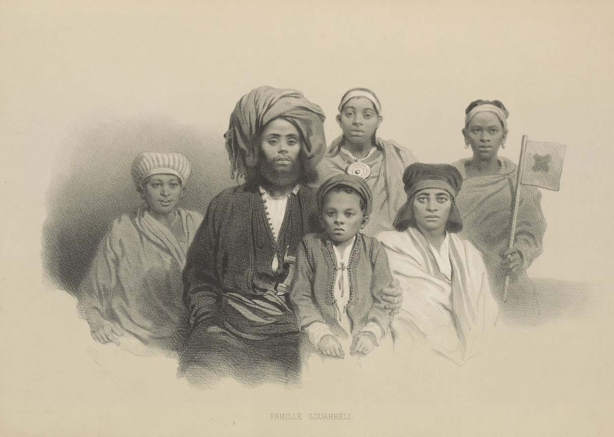
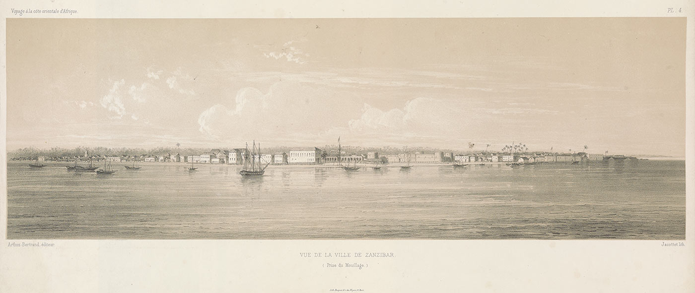
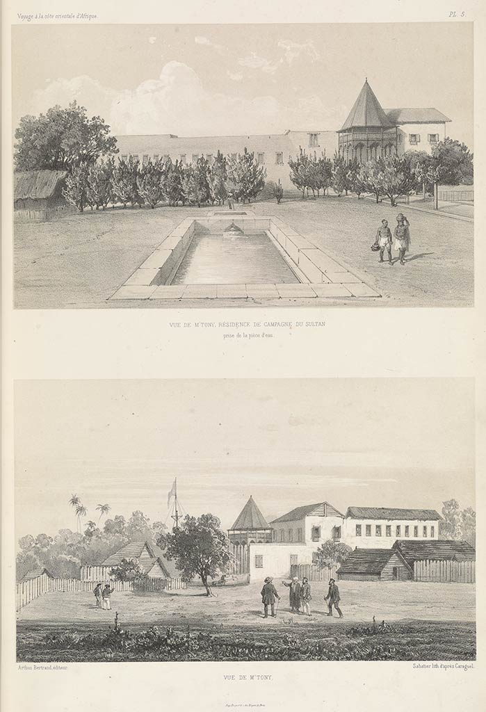
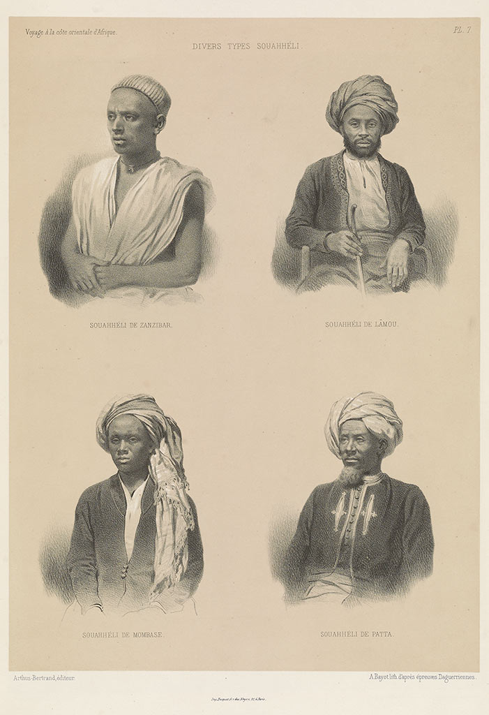
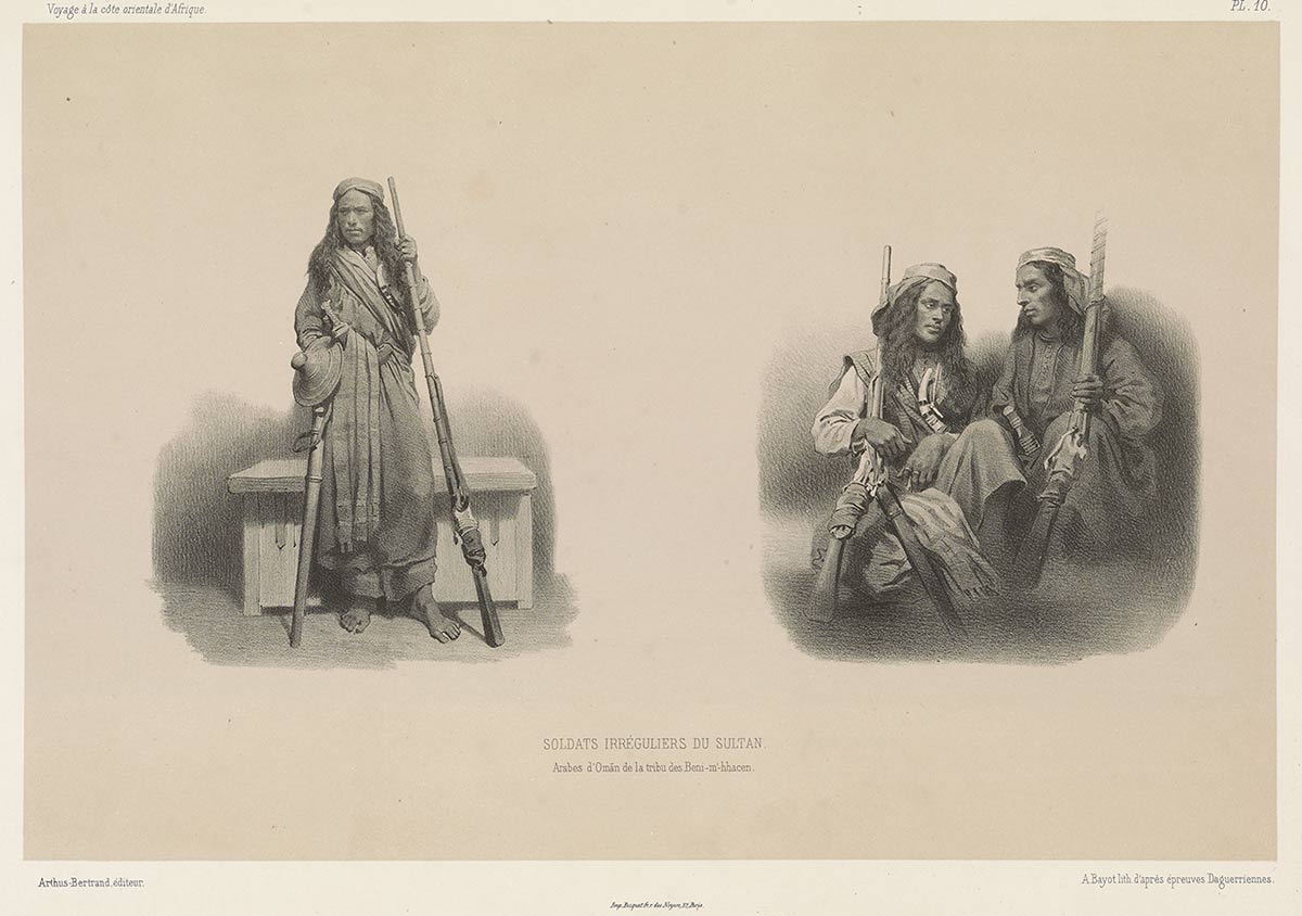
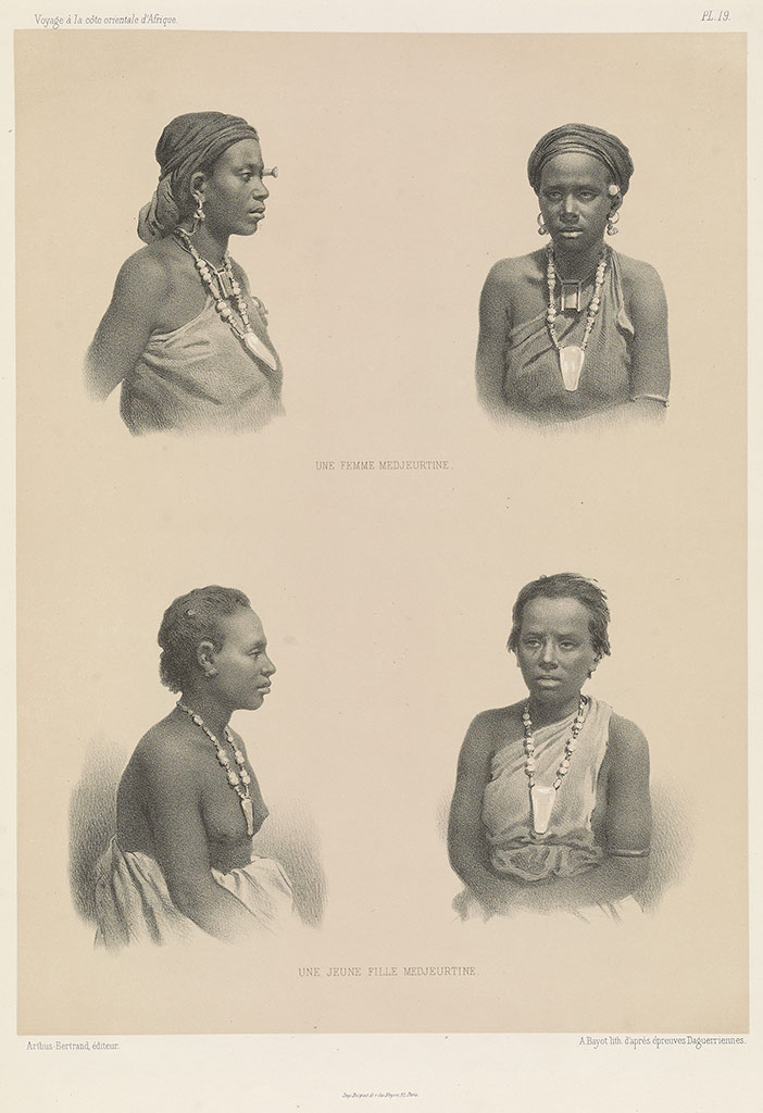
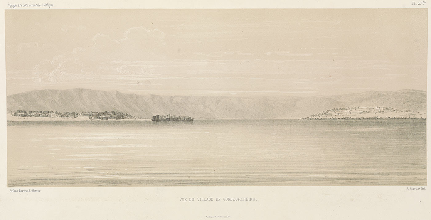
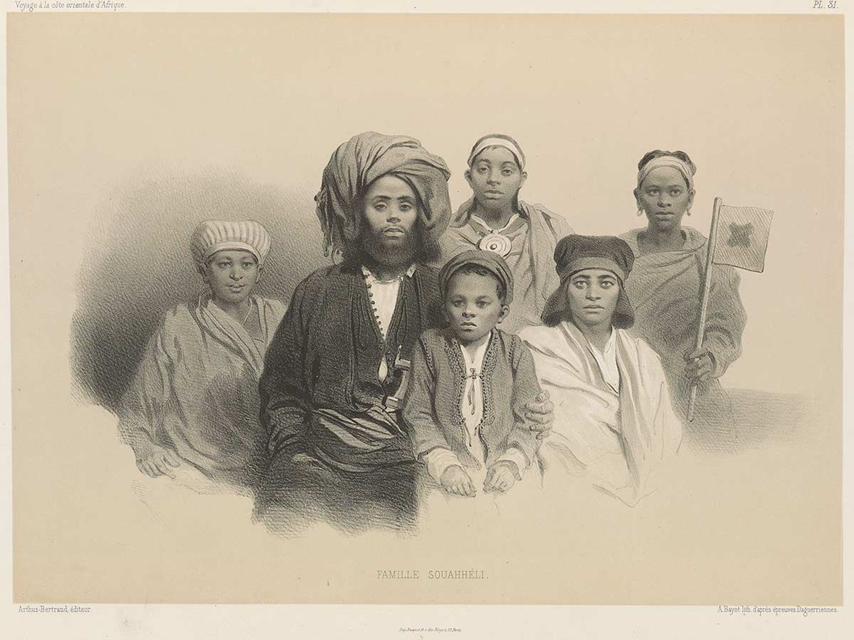
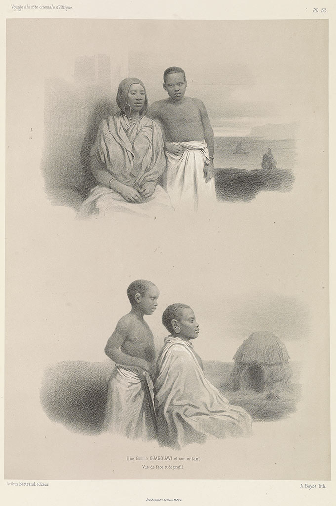
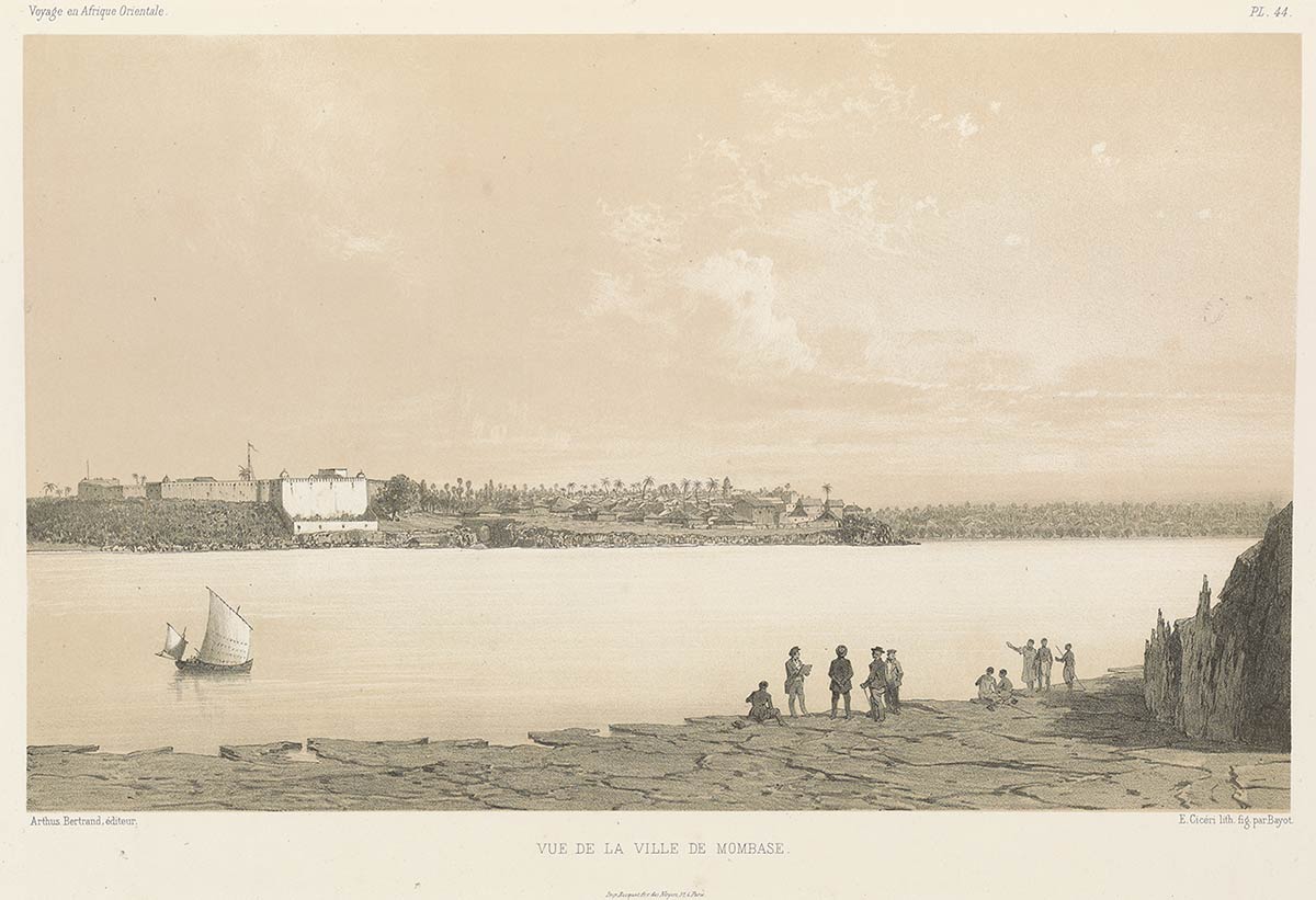
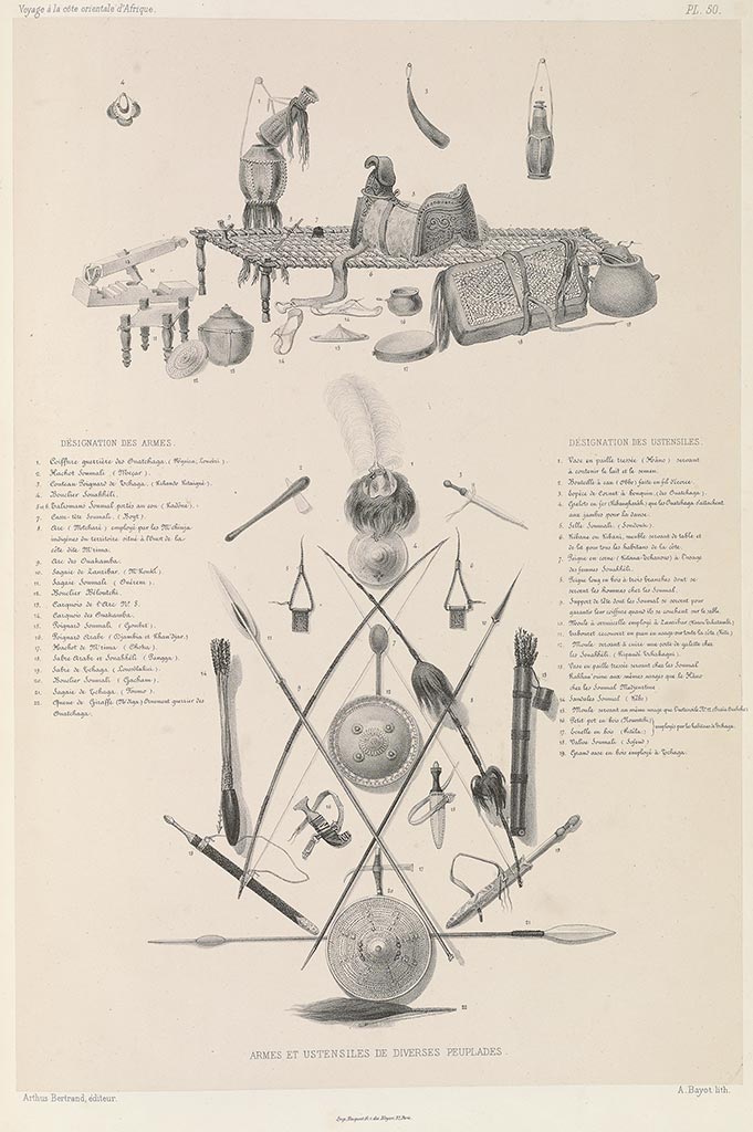
In his Voyage a la Côte Orientale d’Afrique (1848), Charles Guillain mapped the interior and coastal trade in east Africa strategic to French holdings in the Indian Ocean. Interleaving geography and ethnography, Voyage details maps and views of east African towns in a pioneering series of daguerreotypes, which were among the first created in the region. Guillain’s astonishing portraits reveal the diversity of residents in Ras Hafun, Mogadishu, Zanzibar, and Mombasa, depicting traders and servants from inland east Africa and the Indian Ocean.
[ read more ]